Site Information: Au Sable Forks
Site 556-6
44 27' 37" N – 73 38' 33" W
This site, located just outside of the town of Au Sable Forks, was an Atlas Missile silo from its construction in 1961 until its deactivation in 1965. It was one of 12 Atlas F silos constructed in a ring around Plattsburgh Air Force Base, at a cost of around $3 million each. This site is now in private ownership.
Click here for more photographs
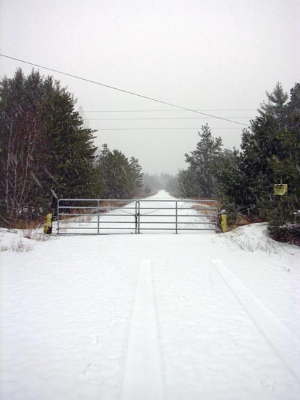
Gate, 2006
My print:

Gate, Linocut printed on Arches Cover, 4" X 6", 2006
Links:
- NYS Military Museum
- Pictures from www.siloworld.com
Maps:
Google Interactive Map
- The former missile silo is located at the end of "Pr Rd" shown on this map. Zoom out more to get a sense of its location.
Microsoft Terraserver Map
- The missile silo is called "Site 5" on this map, even though Au Sable Forks was designated #6.
Terraserver Aerial Photograph
Home
All work by Stephen MacLellan
Colgate University
13 Oak Drive
Hamilton, NY 13346
smaclellan {at} mail.colgate.edu
(978)808-6415